 |
1999 PHOTOS OF "BEACH" AREA (by Larry Sato) |
|
1999 PHOTOS OF "BEACH" AREA (by Larry Sato) |
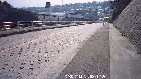
This is "Fire Engine Hill" , taken at Ridge Road, near Unit 394 on the map, and looking downhill (South). The top of the hill is the area called "Bayview". The hill is now named "Amerika Zaka" or America Hill. That hill used to scare everyone going down hill on bicycles, but the bigger problem was coming back up. At the lower part of the hill near the power plant on the map was the fire station that gave the hill it's name.
The area to the right of the road in the picture is the "Ridge Drive" area. All of the area on either side of Ridge Dr. was called "Bayview" as it was higher in elevation and had a very nice view of the bay in the early days. Later as land fill and pollution cut down the view, the only thing you could see was to Ave. "D" and the lower area. That lower area described by "Crescent Drive" was called Area 2. There were only three roads that connected the two areas; the road next to the school, a curved road near the mid-section, and the so called "Fire Engine Hill" on the far west side of Area 2.
The entire Ridge Drive or Bayview area from the water tank East to Unit 393 is now dedicated as a park. It's a great use of land for the local population and also ensures all of us that lived in that area a chance to walk the land we once did as children without trespassing on someone's yard.
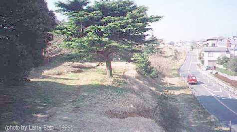
This is looking West from the position of Unit 393 on the map towards Playground No. 8. By the 60's the units shown further west on the map were gone and returned to local use. This photo is taken from the approximate location of the Redmond's residence and looks towards the location of the Kubel's residence. Farther up the road pictured would be today's location of the YCAC.
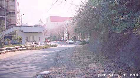
The granite retaining wall on the right and parking on the left with a building in the back ground is taken on the school road looking downhill or South, near Unit 326 on the map below the water tank. That wall is totally unchanged since the 50's. The building on the left in the picture stands approximately where "Playground No. 10" is shown on the map. PG.No. 10 gave way to the single story junior high school buildings in the late 50's. The church shown on the map above the school is not known by many Yo-Hi'rs after early 60's as it was demolished in a spectacular fire. It became an open field surrounded by a box hedge overlooking the football and baseball field and a place where other "events" occurred, especially during the night football games.
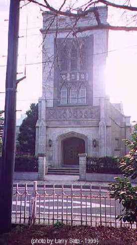
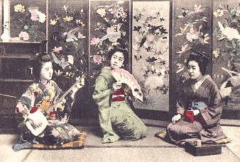
Christ Church
Located on the "bluff" directly accross the street from the "ORIGINAL" Yohi.